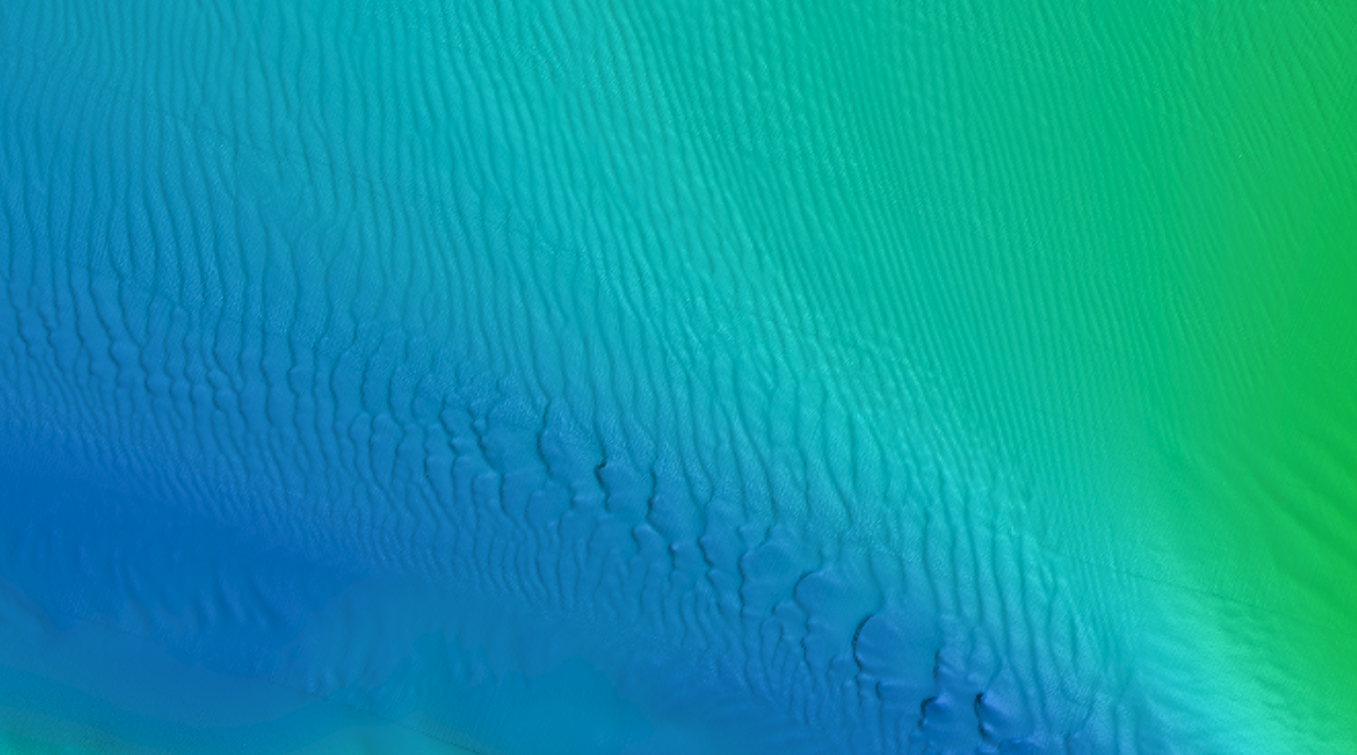
Multibeam Bathymetry
Capabilities
Coastal Sensing leverages a Norbit i80s Winghead sonar upgraded to Dual Swath, Extended Range, Calibrated Backscatter, Beam Focusing, and Dynamic Scanning. Paired with additional Yaw stabilization and real time centimeter level positioning with PPK post processing we can collect higher density data at astounding rates.
Breakwater - Harbor Village Marina, Kenmore WA
Extended Operations
The POSMV OceanMaster MRU paired with our vessels extended operation capabilities and centimeter NTRIP GPS correction service mean more data, better data and fewer weather days.
Pipeline with two outfalls downhill
Outfall in the concrete face of the Montlake Cut - Note Sediment Below
Wreck of the JE Boyden
Structure
Structural mapping of pipelines, debris areas, wrecks, underwater assets with dual swath or scanning options provides exceptionally high data density and detail.
Bridge Pilings - Scanning multibeam used with beam steering.
Breakwater image showing vertical and supporting pilings behind the breakwater - Scanning multibeam used with beam steering.
Sewer infrastructure - Matthews Beach Seattle.
Infrastructure
The scanning capability of the i80s allows for the capture of multidimensional data on structures like pilings, anchors, rock, abutments, and more.
