Gallery
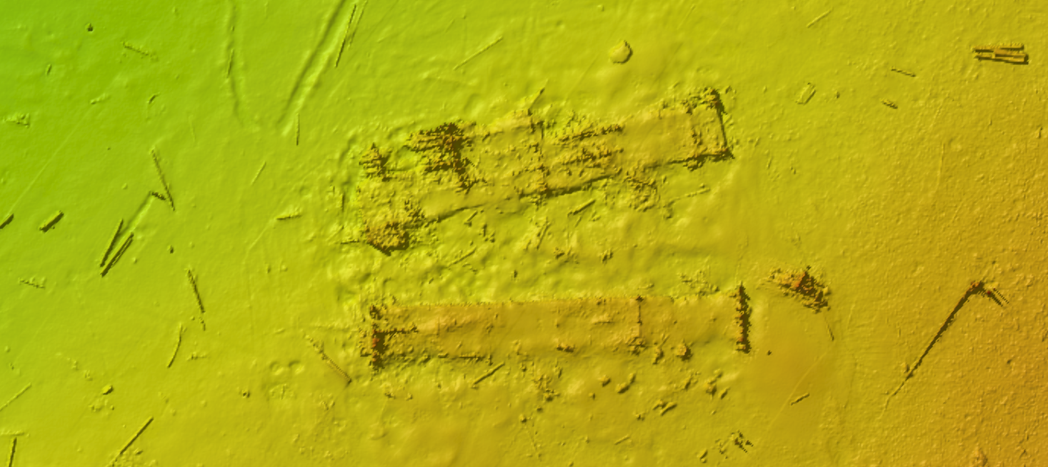
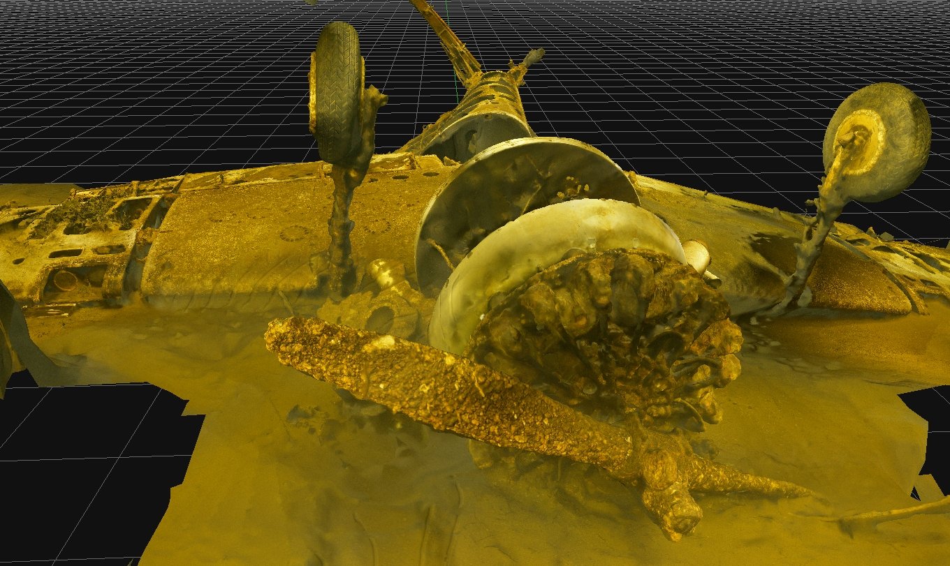
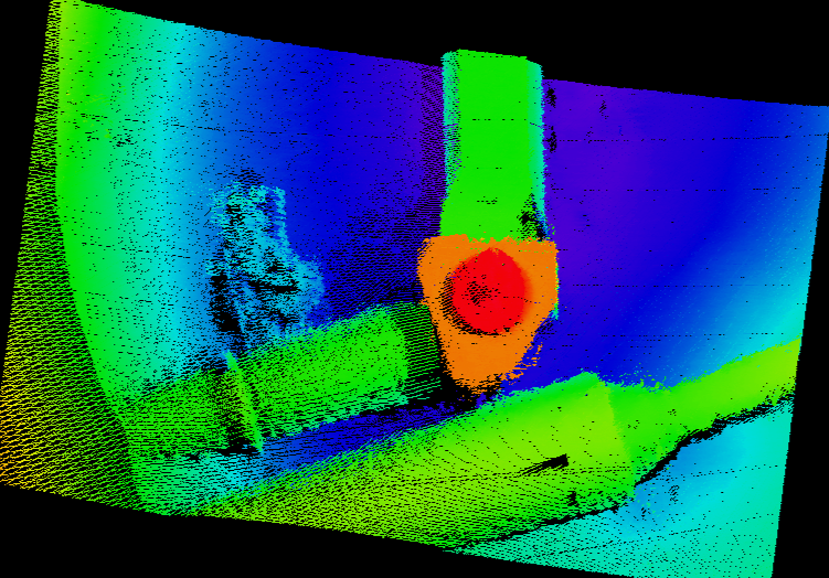
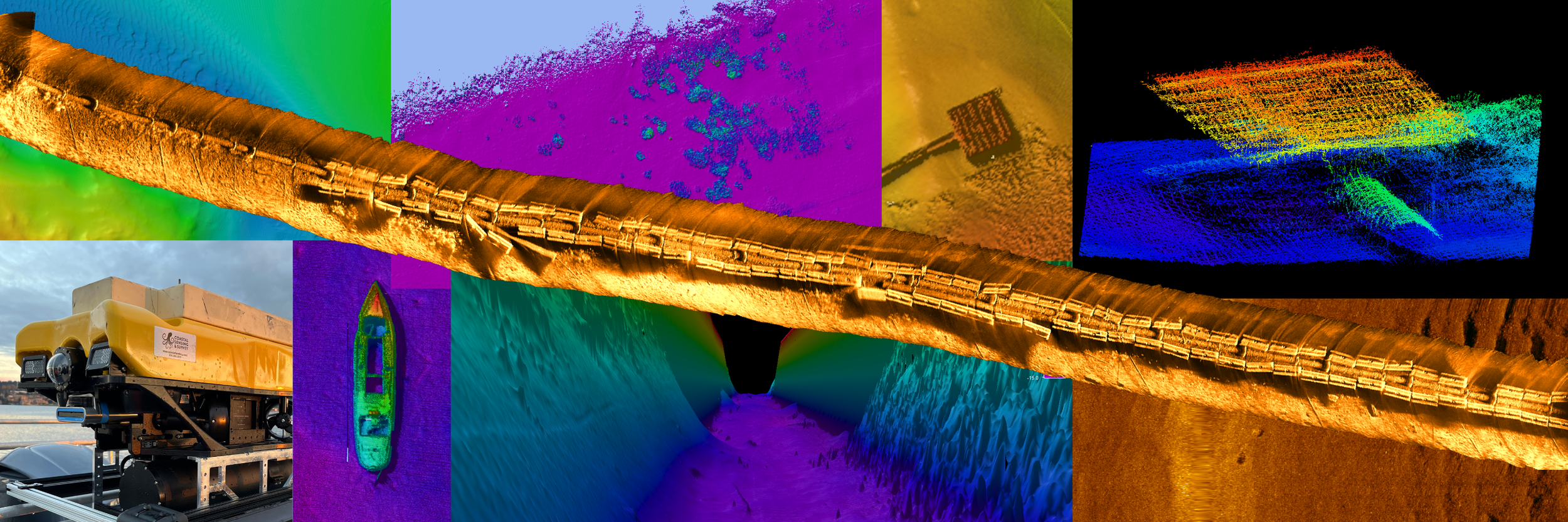
The Coastal Sensing gallery showcases survey data organized by sensor type, including sidescan sonar, bathymetry, photogrammetry, and multi-sensor integration. Each section highlights how different datasets contribute to understanding underwater environments, from seafloor shape and texture to detailed visual documentation. Together, they demonstrate how raw data is translated into clear, usable information.